

The City on the Move.
City Limits
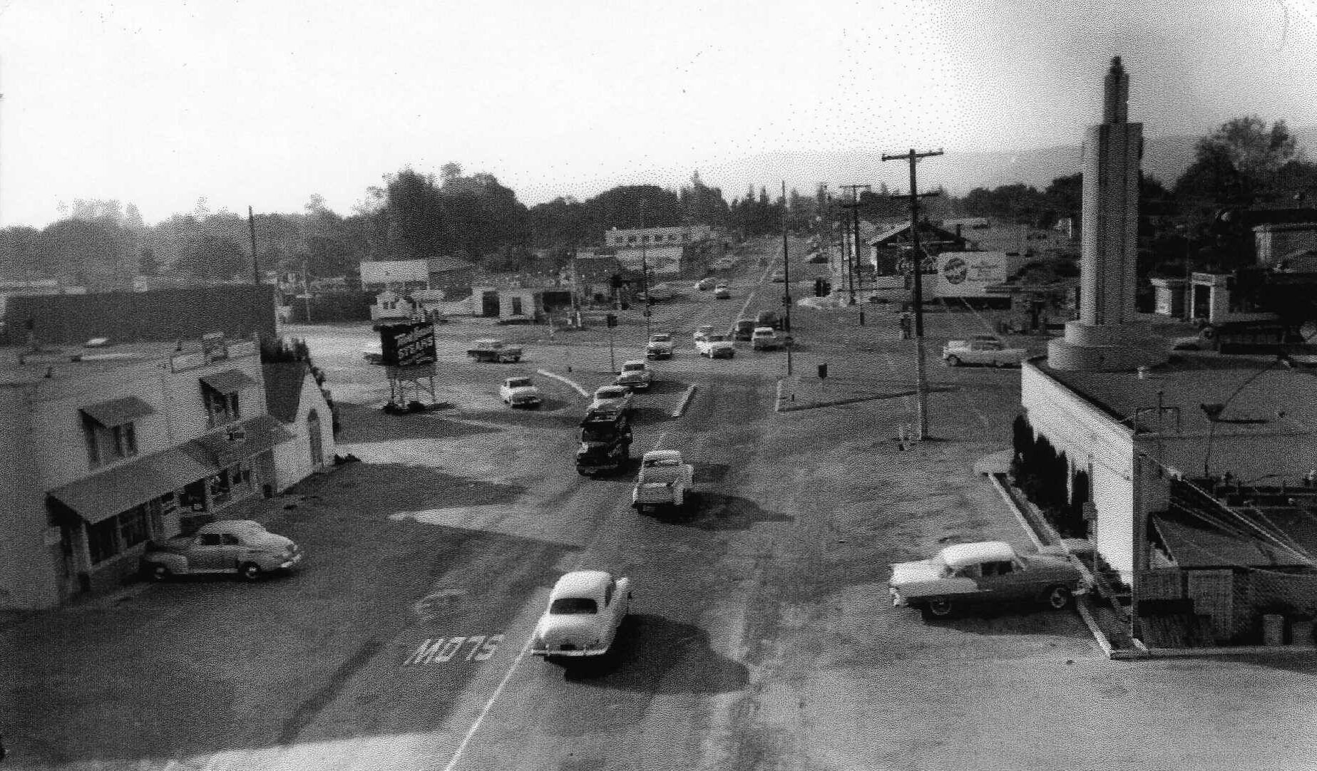
Since its founding around 1849, East Palo Alto has been a city in a near constant state of flux. But some things remain the same: a beautiful, rural-like setting; a centralized location; and some of the best weather in the country.
For most of its history, “E.P.A.” was part of unincorporated San Mateo County and did not have official boundaries until 1983. The area historically regarded as East Palo Alto was much larger than the city's current 2.5 square miles. Large tracts of this land were annexed by neighboring Menlo Park and Palo Alto from the late 1940s to the early 1960s.
As with most of the region, the original inhabitants of what is now East Palo Alto were Ohlone/Costanoan Native Americans. Spanish ranchers were followed by Western speculators and settlers. Post-war housing developments gave way to a city with a multi-ethnic population that includes large numbers of Hispanics, African Americans, and Pacific Islanders.

E.P.A. By the Numbers
Median Sale Price: Approximately $1,100,000. While the market sees some monthly fluctuations, the most recent three-month median reflects a steady climb toward the $1.1M mark as the area continues to see increased interest.
Sale-to-List Ratio: The market is increasingly competitive, with many properties selling at or near asking price as buyers recognize the significant value and growth potential in this central Peninsula location.
Speed of Market: The market is moving at a steady and brisk pace; well-priced homes are attracting quick attention from buyers looking for a strategic entry point into the Silicon Valley real estate market.
Population: A growing and diverse community of approximately 28,625 residents, characterized by its vibrant energy and convenient proximity to major tech campuses.
Median Age: 36.3 years, reflecting a younger, dynamic demographic of rising professionals and families contributing to the area's evolving landscape.
Median Household Income: Solid economic foundations with a median household income of $113,493, supporting a community that is seeing consistent investment and development.

#IndependenceDay
After several years of pro-incorporation campaigning by local community groups, a 1982 ballot measure that was stopped by a lawsuit, and a subsequent election the following year, East Palo Alto finally became a city on July 1, 1983. However, because of legal challenges to the 1983 ballot measure, it was not until 1987 that the city was officially recognized.
#EastOfEden
Separated by San Francisquito Creek and the Bayshore Freeway, East Palo Alto and Palo Alto have shared area codes and postal ZIPs, and for a long time, not much else. Revitalization projects and high income high-tech professionals have begun to eliminate the cultural and economic differences between the two cities, but progress has also brought gentrification and a further widening of economic gaps.

WHERE TO GO: Chic’s Picks

EPACENTER for the Arts – The “epp-a-center” provides easily accessible opportunities for youth to amplify their creative voices and come together in a safe learning environment, resulting in a stronger and more vibrant city. Located on the corner of Bay Street and Pulgas Avenue, the newly constructed EPACENTER is set to open when we return from sheltering in place. Learn more

Cooley Landing Park – When this park first opened in 2012, it added nine acres to public open space in East Palo Alto. Now, after more than a decade of studies, research, and community discussion, improvements are underway, including the Education Center, which serves as a place for community meetings, and as an institution to preserve and enhance the area’s cultural heritage, history, and traditions. Learn more

Baylands Nature Preserve – This 1,940-acre preserve is one of the largest tracts of undisturbed marshland remaining in the San Francisco Bay. Fifteen miles of multi-use trails provide access to a unique mixture of tidal and freshwater habitats. Many consider this area to be one of the best bird watching areas on the west coast. Learn more
WHERE TO EAT, DRINK & HANG

Back A Yard – Looking for the best Caribbean and American food in the Bay Area? Accept no substitute for this Black-owned and operated local tradition. Their name “Back A Yard” is a common term in the Caribbean and represents the lifestyle, culture, spirit, food, and vibe of welcoming visitors to your home. Learn more

Taqueria La Cazuela – If you’re craving authentic Mexican food at a reasonable price in a unique atmosphere, you can’t go wrong with this hole-in-the-wall. This is one of those gems that’s not much to look at but really packs a punch, and that’s before you get to the horchata! Learn more

Dosa Point – Dosa Point specializes in North and South Indian Cuisine including kebabs, skewers, curries, biryani, and deliciously decadent selections of Dosa that will take you on a culinary journey to the other side of the world — and make you feel right at home! Learn more
WANT TO LEARN MORE?
LOCAL SCHOOLS

Ravenswood City School District

